Picos de Europa, Northern Spain

High peaks, sheer deep gorges, forests,
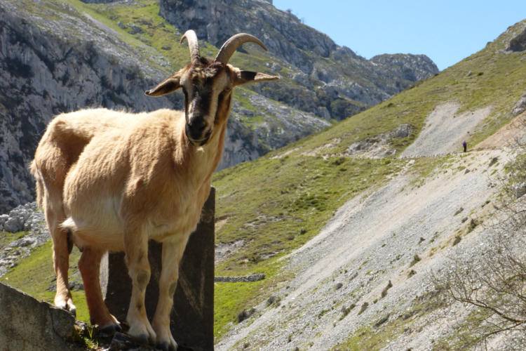
moorland and spectacular montane wildlife

© Nova Fisher novatravels.net
Treks
Fuenta De
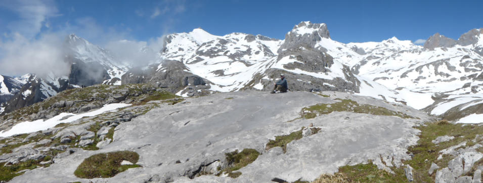
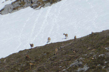
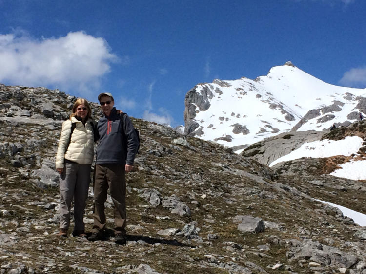
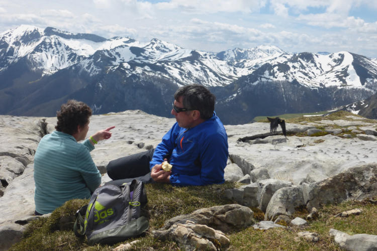
We travelled up into the mountains on the cable car (1450m in less than 4 mins). About two thirds up, you can see the "Lagos", a lake that is unusual because of its location and there is another lake higher up. We stopped at the top station, ‘Mirador de la Reina’ for stunning views of the mountains and valleys. There was much snow at the top so trekking was limited. We watched a large herd of the chamois antelopes for some time before eating our picnic lunch whilst admiring the views.Alevia
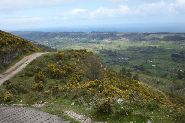
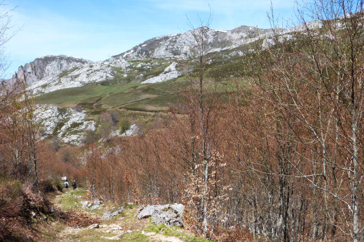
We trekked from the charming village of Alevia around the Pico Cabrios, and across the ridge with stunning views of the long coastline. We passed by several old settlements and a very interesting old mine.Cares Gorge
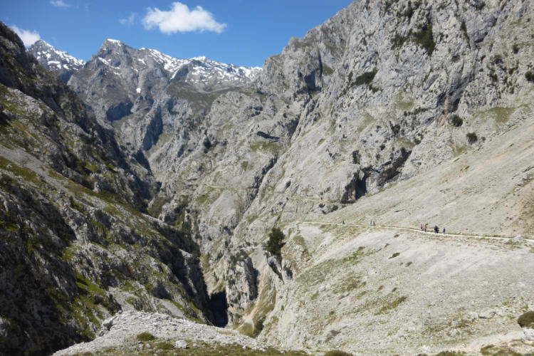
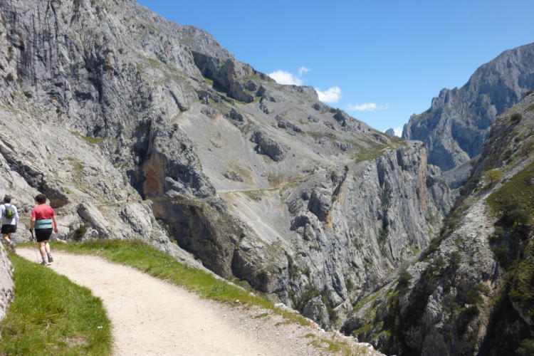
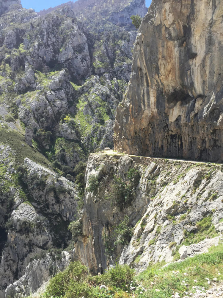
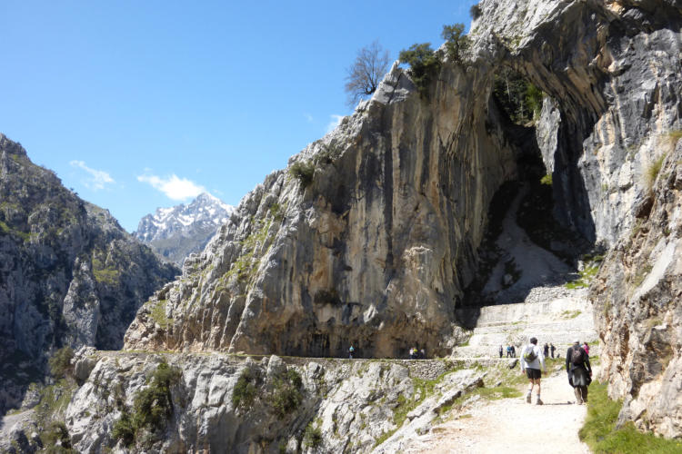
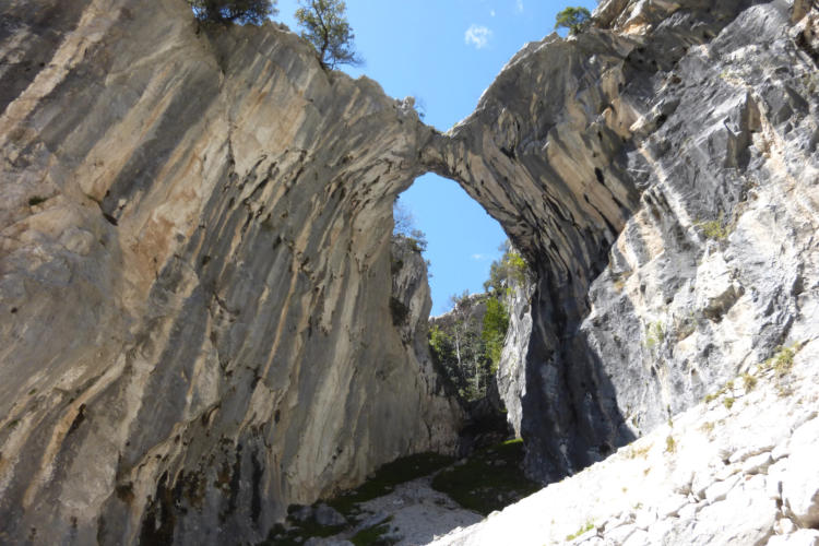
From Puente Poncebos, we walked 9 miles on the top path through the gorge - the full route is 7.5 miles / 3 hours each way. It’s an awesome walk on a dramatic old hydro-electric maintenance track carved into the cliff- faces, high above the river. The deep gorge, a mile deep in places splits the stunning, jagged limestone mountain range (2km in places). Unmissable if you are in the area! (Return buses run in the summer period if you just want to walk one way.) The path was built as a service access for a hydroelectric project which takes water from a small dam in Cain and then follows a canal for some 12km, before plunging approximately 300m into the turbines of the hydroelectricity plant at Puente Poncebos. Constructed during the 1930s without the use of any mechanical aid, it's an incredible feat of engineering for its time. Until recently, the route was walked almost daily by engineers, to inspect the canal for any damage or leaks, although these days this task is performed electronically.Sotres
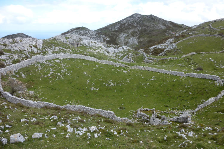
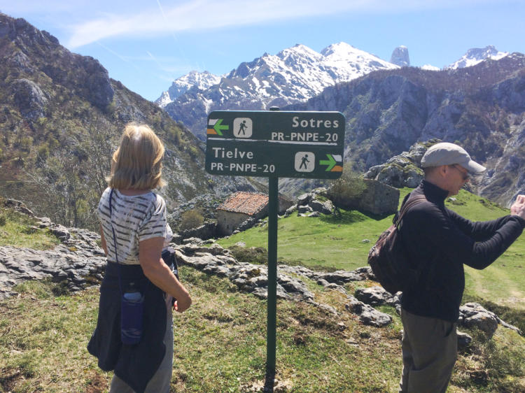
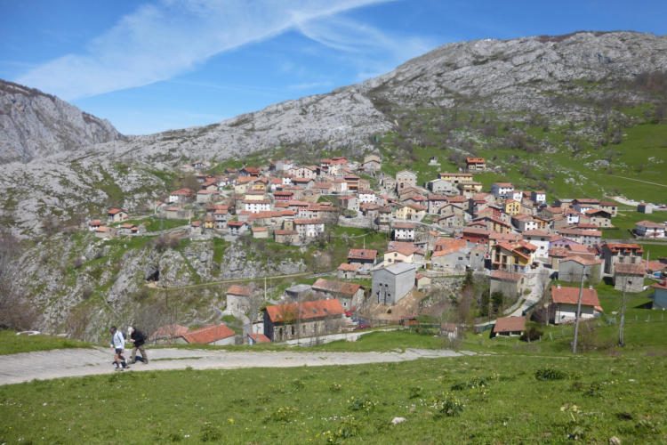
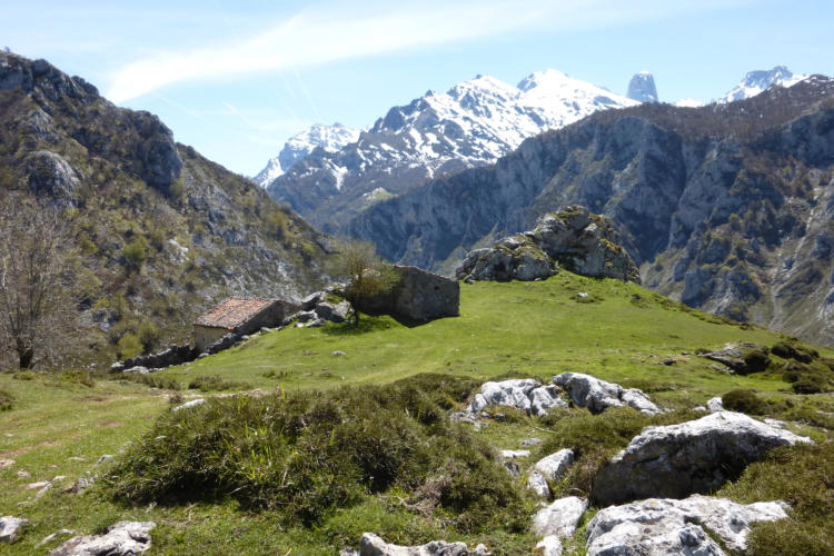
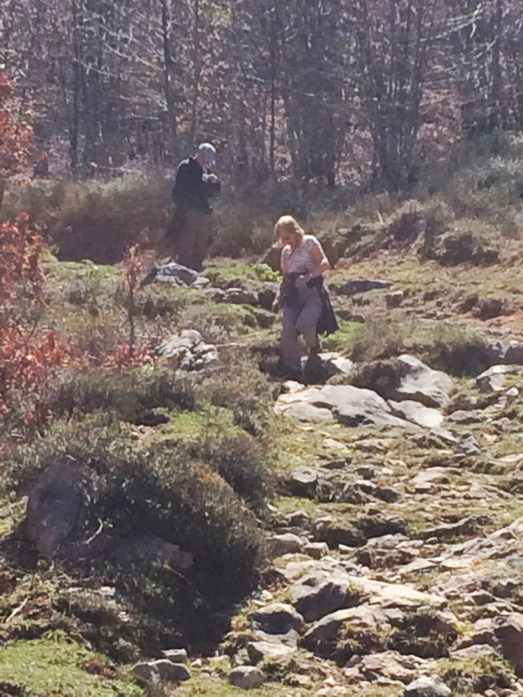
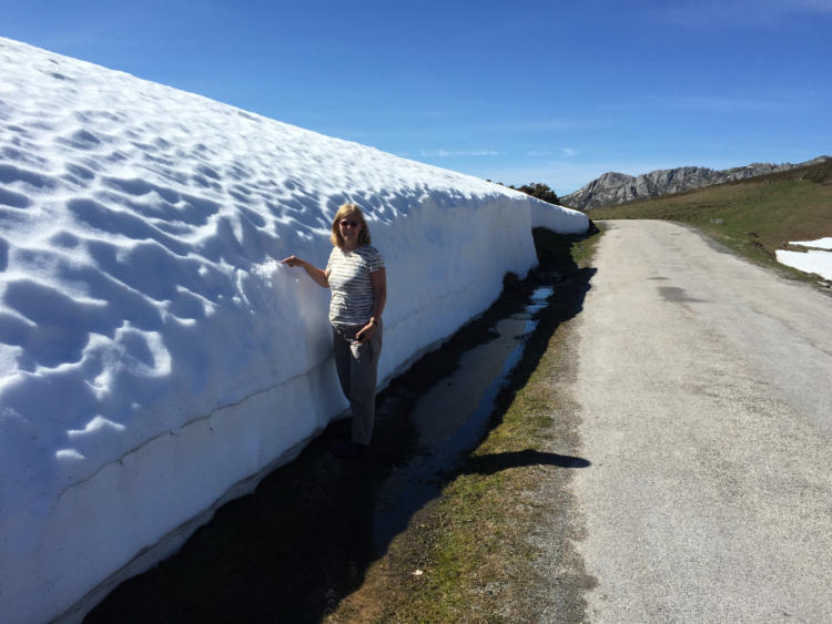
After enjoying a coffee in one of the small quaint cafes in the small village of Sotres, we trekked 5 miles to the charming hamlet of Tielve. We briefly passed through open pastures and beech woods before starting our ascent to reach the little road at the foothills of La Caballar (1230m). We then entered completely different countryside with open pastureland, cattle, beech woods and little mountain streams. Then we walked on a meandering trail generally downwards, passing by many invernales (animal winter shelters). We reached the large cattle- farming settlement at Majada de Valfrio and a steep footpath took us to Tielve, where we enjoyed a refreshing drink with the locals in the pub before returning to Sotres. We drove from Sotres over the ridge, where we were met with a wall of snow on the side of the road, and down the valley to the little village of Tresviso, situated the end of the road.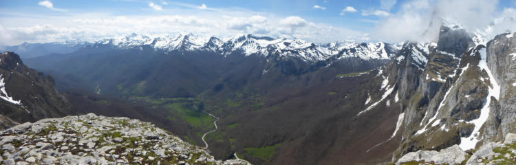
Click on any photo to see a larger image and slideshow


